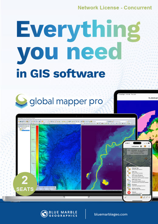
Global Mapper Pro® expands upon the extensive functionality of the standard version of the application for those with advanced workflows. You can utilize a comprehensive collection of tools for data creation, editing, advanced 2D and 3D analysis, point cloud processing, scripting methods for workflow automation, and much more. The comparison chart below shows the features and tools available in the Standard and Pro versions of Global Mapper.
PLEASE NOTE: Global Mapper Pro is an add-on to the Global Mapper Standard application. When purchasing Global Mapper Pro, you will receive two licenses—one for Global Mapper Standard and one for Global Mapper Pro. You must install both licenses to unlock the Pro features.
Recent Developments in Global Mapper Pro
The new deep-learning powered image analysis tools in the Insight and Learning Engine provide built in models for land cover classification, building extraction, and vehicle detection. Utilize the fine-tuning tools to tailor the built in models to specific datasets to improve model performance on your own datasets.
Create a 3D point cloud, orthoimage, and 3D mesh products from drone or UAV collected images utilizing Pixels to Points in Global Mapper Pro. The Pixels to Points Wizard allows users to select from predefined project types and optional outputs, or create their own. Leverage the ability to automatically place GCPs to further control output product accuracy.
Global Mapper Pro offers the opportunity to fully classify 3D point cloud data. Automatic ground, building, tree, powerline, and pole classification and feature extraction tools work with lidar or photogrammetrically-generated point cloud data. Utilize manual classification options for more precise control.
With various selection methods available in 2D, 3D, and the Path Profile views, point return classes, elevation, and attributes can be altered. Additional Lidar QC tools to enhance the 3D position of point clouds through manual rectification or based on control points or overlapping point clouds provide a set of tools suited for all lidar data processing.
This tool allows users to identfiy features of interest in a point cloud based on certain parameters or attributes. Whether color, elevation, intenstiy, or another parameter is important in defining a feautre, users can provide values to allow the tool to identify points which meet these requirements. The flexibility and customization in this tool, combined with a selection method to select and edit individual segments, greatly improves manual classification, to achieve custom point cloud classification in a semi-automated process.
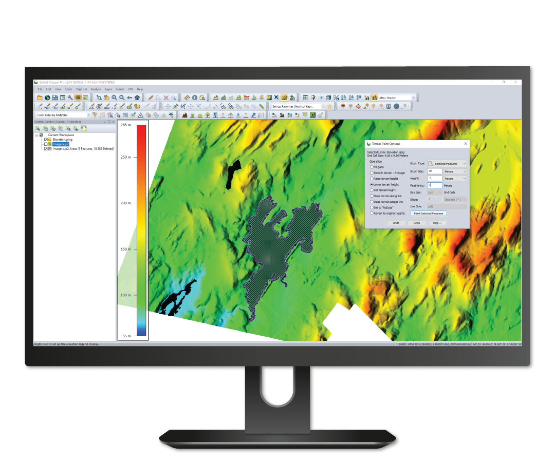
Global Mapper Pro has an array of terrain analysis tools. From advanced binning and kriging methods to create a surface, to terrain painting to live edit the terrain users can prepare their data a variety of ways. The reults of this process can be analysed via watershed modelling, viewshed analysis, contour generation or a slew of other tools available in Global Mapper and Global Mapper Pro
Custom Point Cloud Classification provides the ability to define custom classifications based on user-created training samples. Each training sample should represent a variation of a definable class of objects that can be used to create a new, user-trained point cloud classification. The attributes and shape of the sample points will be used to generate a signature that will be the basis of the new custom classification model.
Once finished, new classifications will appear in the Features to Classify list in the Classification tab to be used along with the built-in Feature Classes, such as Vegetation and Buildings. Custom classes can be saved for future use, or to share with colleagues.
Based on Python v3.10, Global Mapper users are now able to automate workflows in the program using the Python programming language. Not replacing Global Mapper Script, but adding to the scripting language options, Python scripts can be written in the new Script Editor or outside of Global Mapper, and run within the Global Mapper interface, via the command line, or in a Python environment.
The Script Builder tool transforms actions taken in the program user interface into Global Mapper Script or Pythong commands with an easy-to-use record button.
For manual script creation, editing and execution, the interactive Script Editor allows users to open multiple scripts in a tabbed interface and save them individually. With easy undo and redo options, syntax coloring, and command suggestion, the Script Editor greatly improves how scripts are interacted with in the Global Mapper interface.
The powerful Variography and Kriging analysis tool improves data prediction in Global Mapper Pro. Fully customize the data sampling and variogram plot and determine what theoretical model fits best for the generation of a kriged prediction layer.
Pairing with Global Mapper Pro is Global Mapper Mobile, an app available on iOS and Android for field data reference and collection. Wirelessly share data to a mobile device directly through Global Mapper desktop’s Mobile Data Management tool. Additionally, through this tool, Global Mapper Mobile Package files can be merged to combine datasets created by different field collectors.
Create 3D mesh products from a variety of terrain, point clouds, and 3D vector data. Volumetric mesh features can also be created as spheres and cylinders to more effectively model volume in a variety of workflows. Export these products to a variety of 3D formats to use in gaming engines, simulated environments, and more.
All the great features of standard plus…

Select at least 2 products
to compare