Shopping cart

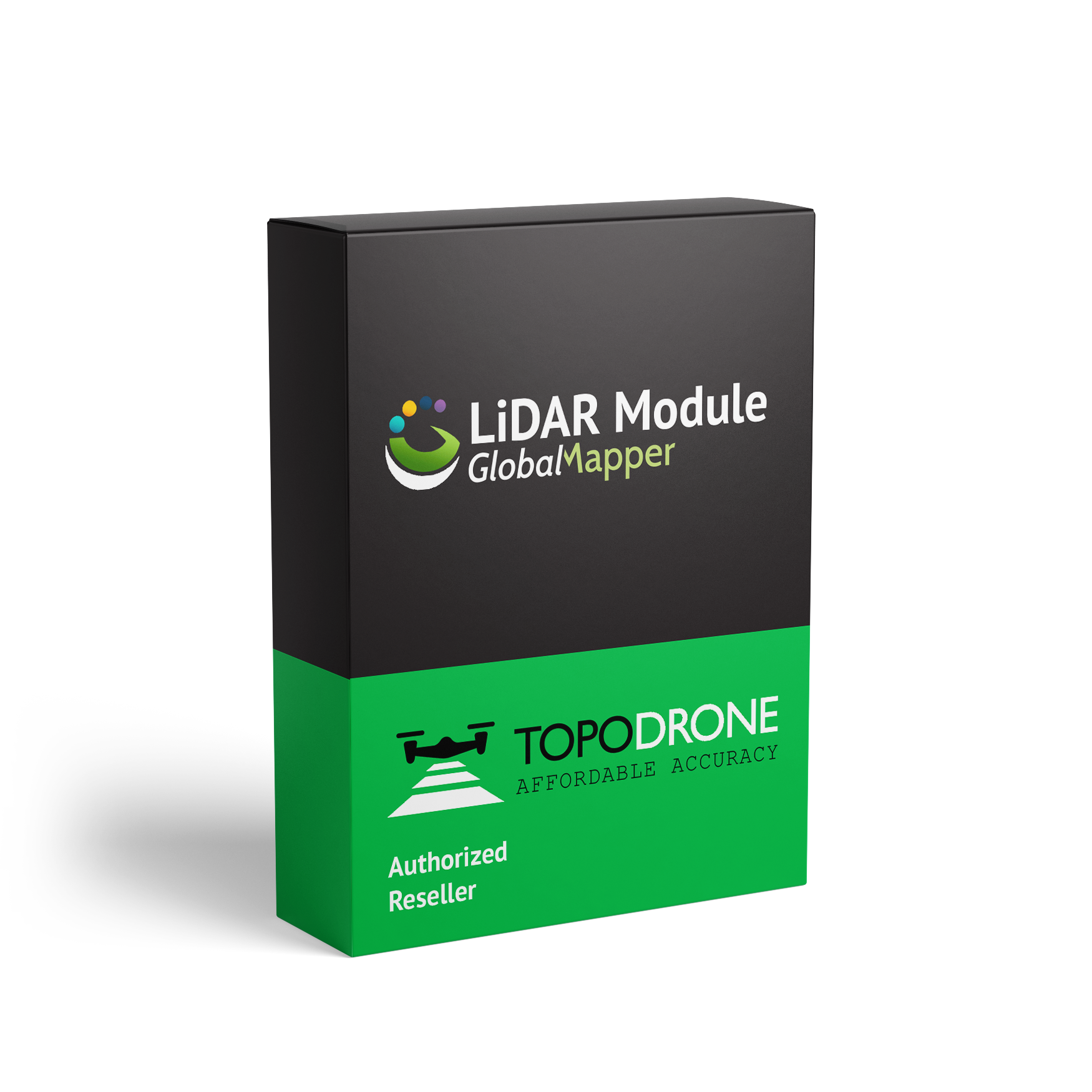
Global Mapper – LiDAR Module

Rp1

Compare

The Lidar Module is a powerful tool for capturing and processing LiDAR (Light Detection and Ranging) data. It enables users to create high-accuracy 3D models and point clouds from LiDAR scans, and is commonly used in industries such as surveying, mapping, and construction. Key Features:

  1. LiDAR Data Processing: The Lidar Module allows users to import and process LiDAR data from various sources, including airborne, terrestrial, and mobile scanners.
  2. Point Cloud Generation: The module generates high-density point clouds from LiDAR data, enabling users to create detailed 3D models and analyses.
  3. Feature Extraction: The Lidar Module includes advanced feature extraction tools, allowing users to extract specific features such as buildings, roads, and vegetation from LiDAR data.
  4. Accuracy and Precision: The module provides high-accuracy and precision results, making it suitable for applications that require precise measurements and analysis.
  5. Integration with Other Tools: The Lidar Module can be integrated with other software and tools, enabling users to incorporate LiDAR data into their existing workflows.
  • 5 Stars
  • 4 Stars
  • 3 Stars
  • 2 Stars
  • 1 Stars

Average Star Rating: 0.0 out of 5 (0 vote)

If you finish the payment today, your order will arrive within the estimated delivery time.

Reviews

There are no reviews yet.

Be the first to review “Global Mapper – LiDAR Module”